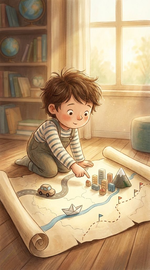
Page 1
A map can show roads, rivers, mountains, cities, and borders all on one flat page or screen.
地图能把道路、河流、山脉、城市和边界,一起放在一张平面上展示出来。A map can show roads, rivers, mountains, cities, and borders all on one flat page or screen.
地图能把道路、河流、山脉、城市和边界,一起放在一张平面上展示出来。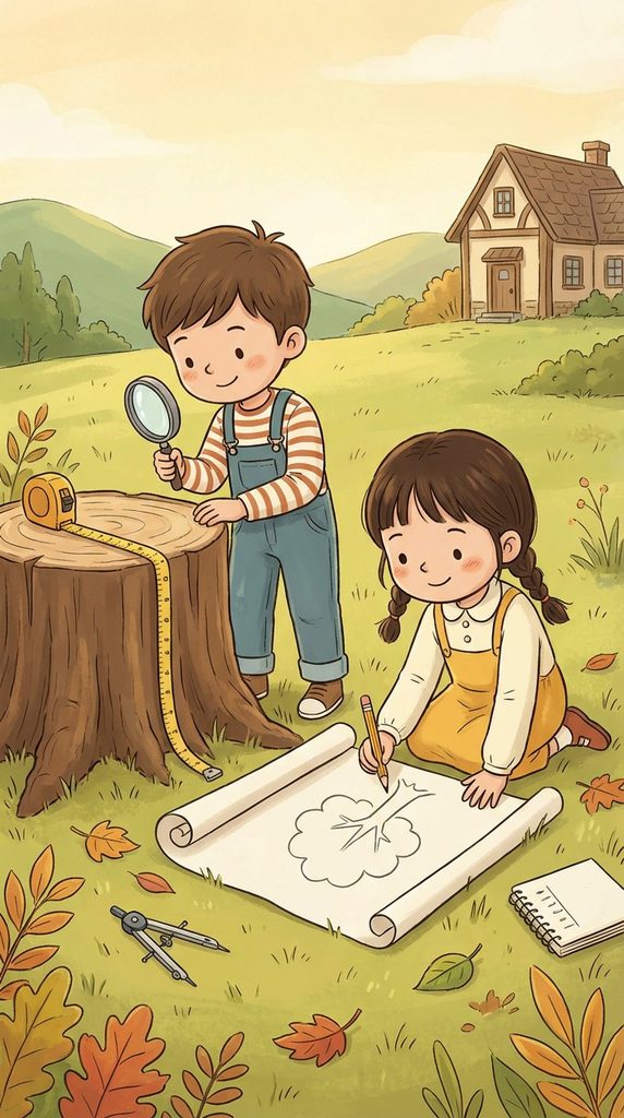
But maps do not simply appear. They are made from observation, measurement, and choices about what to show.
不过,地图并不是凭空出现的,它来自观察、测量,以及对要显示什么的认真选择。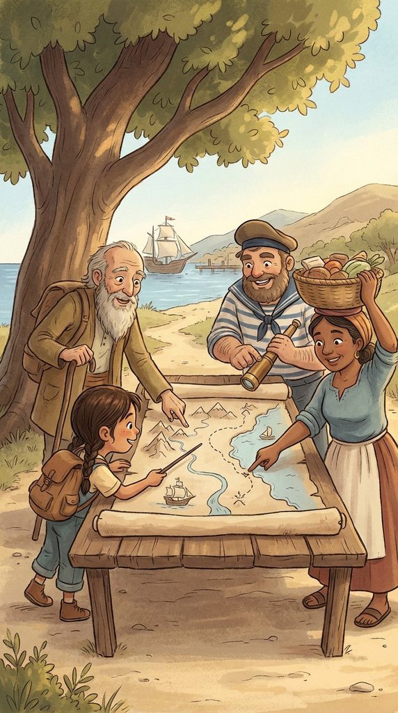
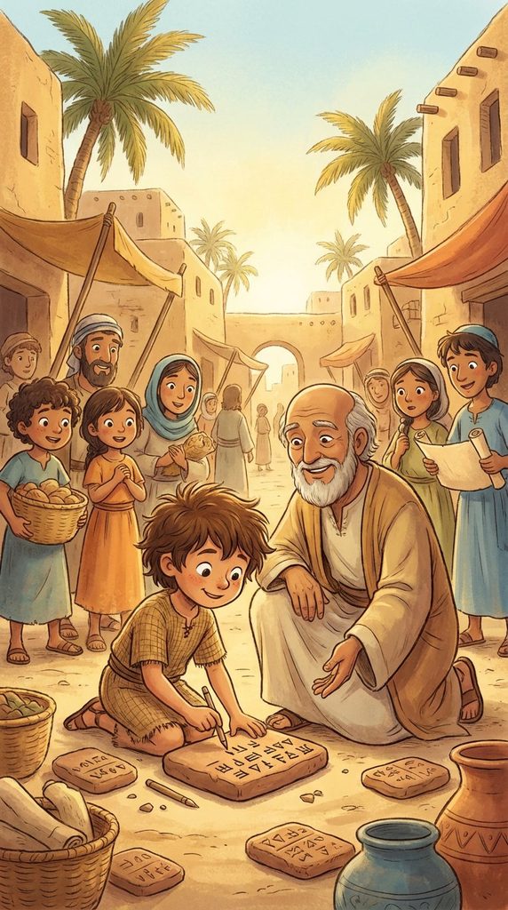
Long ago, travelers, sailors, and local people shared route knowledge that helped the earliest maps take shape.
很久以前,旅行者、航海者和当地居民提供的路线经验,帮助最早的地图慢慢成形。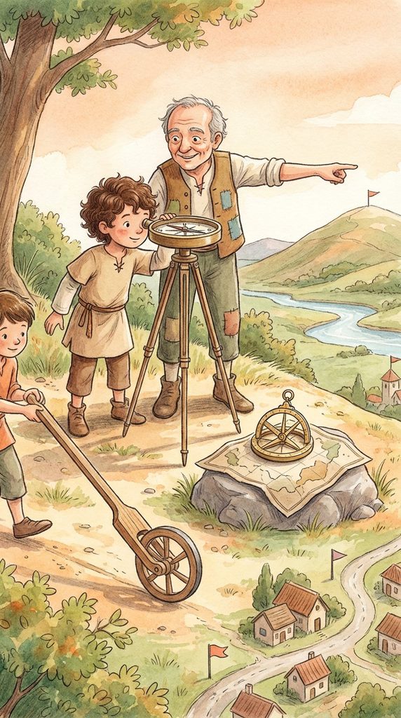
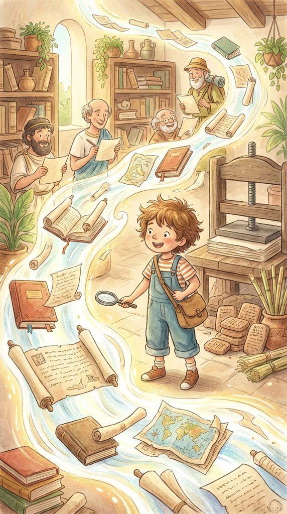
Mapmakers later used tools to measure distance, direction, land shape, and position more accurately.
后来,制图的人开始用工具更准确地测量距离、方向、地形和位置。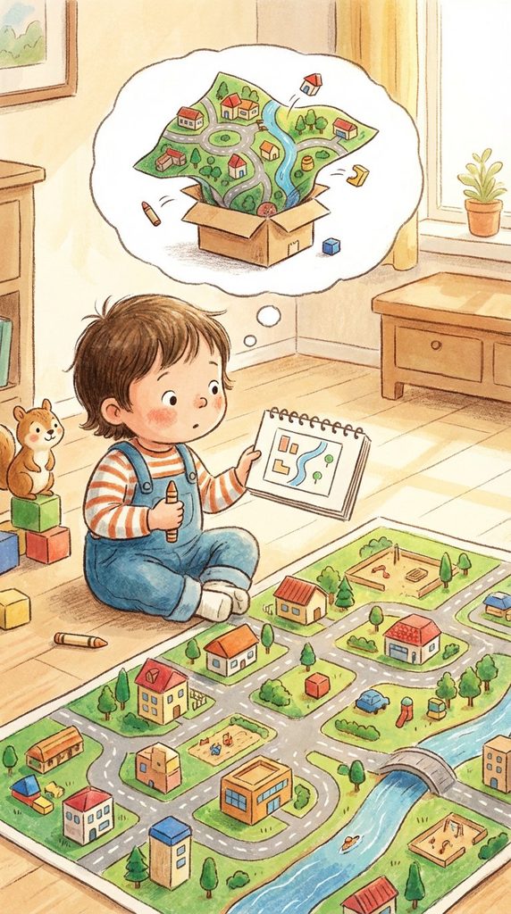
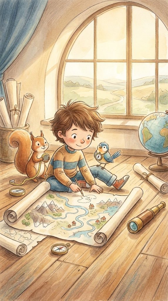
A map always simplifies the real world, because a whole landscape cannot fit perfectly onto a small surface.
地图一定会把真实世界简化,因为整片土地不可能完完整整、毫无取舍地缩进一小张纸里。